Precise location post processing cloud service


Automatic PPK
Fetches the nearest GNSS base station from more than 7000 stations worldwide.

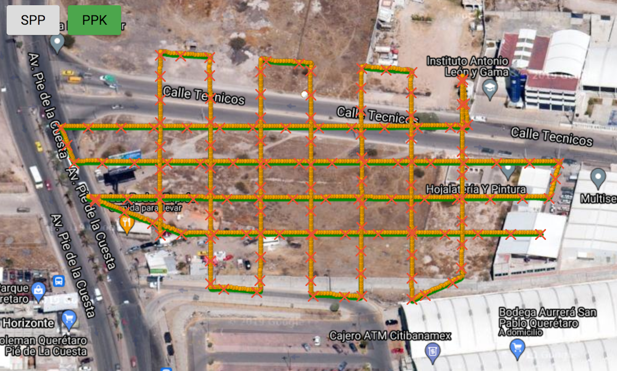
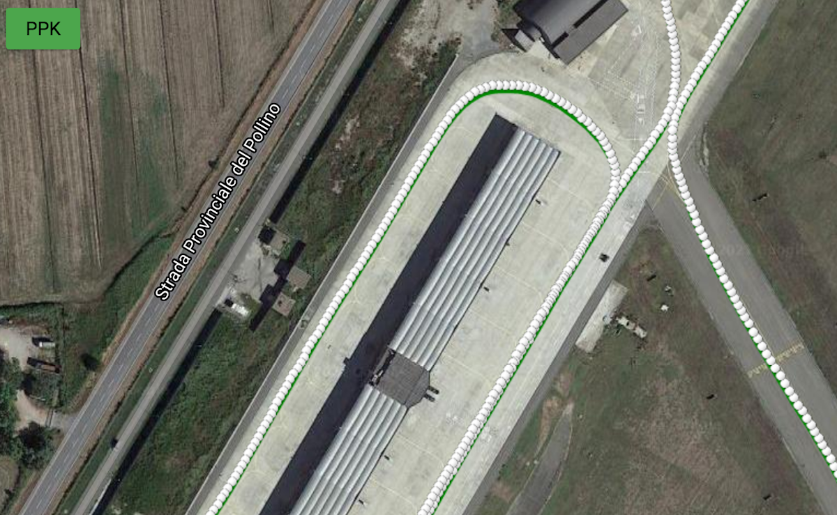
Improved accuracy
Up to centrimetic accuracy depending on your setup. Save GCPs in your survey operations!

Events sync
Accurate geolocation of time-tagged events, synchronized with your images.

Cloud service
No need for software installation. Access from anywhere.
CTRL + wheel to zoom
High Coverage
More than 7000 stations
Automatically fetches the nearest ones
Click here to check the coverage


"JASON allows us increasing the accuracy level in our mapping and surveying activities with drones so that we can fulfil our customers requirements. JASON equals accuracy."


Javier Gomez
G2 UNMANNED AERIAL SYSTEMS SC


●
○
Ready to get started?
Create an account or contact us.